On the road for the Peace River
Friday, July 8, 2011
Paddle to the Peace Blog:
Day 1: Vancouver to Valemount
As someone who lives on Vancouver Island, I don't always think about when my energy comes from. I just flick the switch and the light comes on.
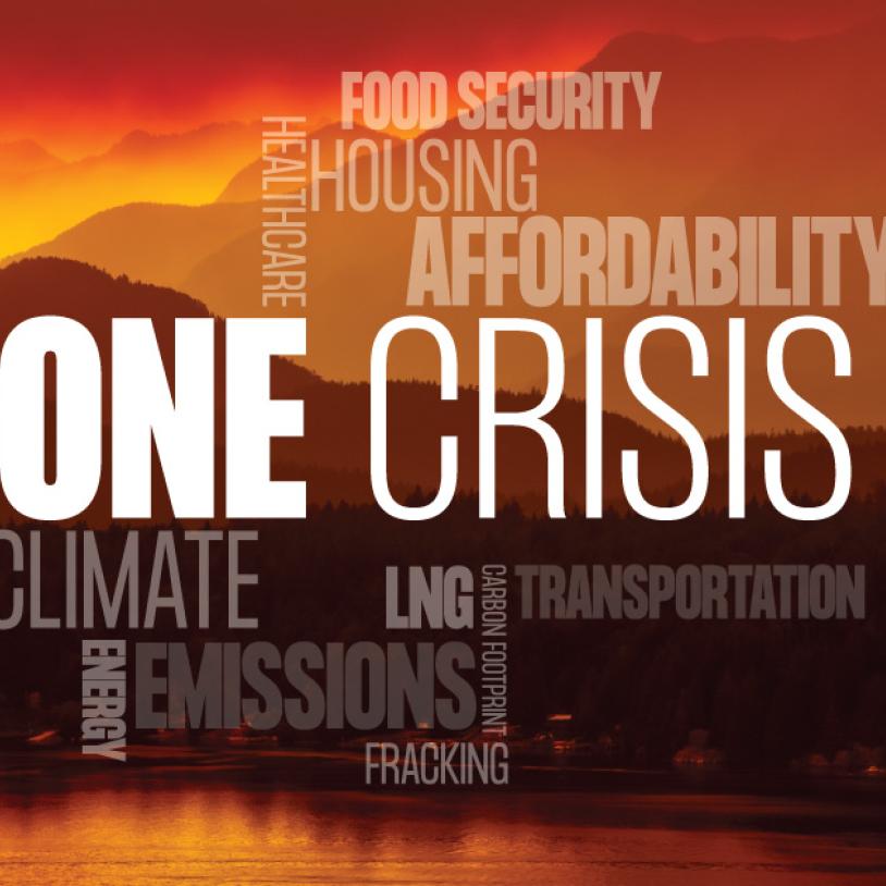
For the people of the Peace River Valley the story of where our province's energy comes from is a lot more personal. The Peace River produces approximately 35 per cent of our energy supply – its waters pushed through two hydro electric dams. It is on the Peace River, in the heart of a fertile valley, that BC Hydro wants to build the Site C Dam.
I am heading up to the Peace River Valley today, to participate in the sixth annual Paddle for the Peace. Hundreds of people participate each year to celebrate the Peace River, and to learn first hand what would be loss if another dam is built.
Fort St John, and the Peace River Valley, seem like a long way from Victoria. When you hop in a car and drive up to the Peace for the weekend, it really sinks in how far away it is.
We are in a small car, with a bright yellow canoe strapped to the top. There are three of us – myself, Joe Foy (national campaign director at WC) and Leila Darwish (Outreach Coordinator at Sierra Club). We leave Vancouver at 10am Thursday with plans to get to the Peace River Valley late Friday afternoon.
This will be my second trip down the Peace in a canoe, but Leila and Joe's first. Well it will be my second if the weather cooperates.
It starts raining just as we leave Vancouver, and it didn't let for most of the trip. Many of the rivers I see out of the car window are still swollen from the spring ice melt. It is an usually wet summer, and in the Peace there is a storm brewing, leaving us and the event organizers speculating on whether the Paddle will proceed as planned.
We stop for lunch in Kamloops – the only place so far without rain. The warm desert air is fresh with sagebrush and the promise of a thunder storm. At lunch, I run into a professor at the university who wants to talk about a growing environmental threat in Kamloops – a proposed gold mine dangerously close to the city limits. The Ajax Mine is currently undergoing an environmental assessment, and accepting comments until July 11th.
We head back on the road, and get a call warning us that the road ahead isn't looking so hot.
Highway 97 outside of Chetwynd was washed out from flooding weeks ago, and was just reopened. There was concern that heavy rains may cause additional flooding. We decide not to take the chance, and take the long road – through Jasper, up to Hinton and to follow the Peace over the Alberta border. It adds about four hours travel time.
We head up through Clearwater, past Wells Gray Provincial Park, into Valemount where we stop for dinner and a photo shoot. After dinner we push on to find a camping spot, and hope that the rain abates enough to make putting a tent up not miserable.
We find a place in Mt Robson National Park, set up camp and head off to sleep. Tomorrow we have another 800km to go before our final destination: the beautiful and threatened Peace River Valley.