New bill adds to B.C. parks, protected areas
Vancouver Sun

A new bill introduced Monday would add more than 1,500 hectares to B.C.’s protected areas and parks, according to the B.C. environment ministry.
Bill 8 — the Protected Areas of B.C. Amendment Act, 2015 — would add land to six parks, increase public safety along Highway 3 (the Crowsnest Highway) and make administrative changes to clarify legal descriptions.
“By way of this legislation, successful community and First Nation partnerships are being realized, helping to expand our parks, create more recreational opportunities, increase public safety and further protect B.C.’s beautiful and natural spaces for future generations,” said environment minister Mary Polak in a statement.
“This is a little bit of good news,” said Gwen Barlee of the Wilderness Committee, which has been critical of past ministry moves to make boundary adjustments to parks and protected areas to accommodate industrial pipelines, transmission lines and resource roads, but noted Bill 8 didn’t appear to do that.
“But this is a small amount of land in the whole scheme of things.”
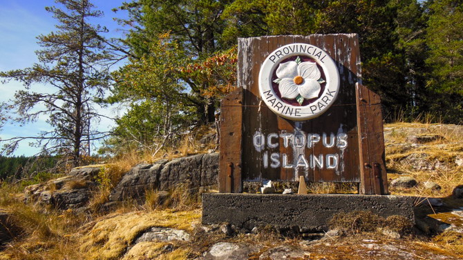
According to a ministry release, more than half of the new additions are in the form of private land acquisitions, including the multi-partner Quadra Island deal a year ago that connects Octopus Islands and Small Inlet marine parks together, with the aim of protecting sensitive ecosystems.
Other private land acquisitions adding to the parks system, the ministry said, include 1,219 hectares to West Arm Park in the Kootenays and 109 hectares to Bodega Ridge Park on Galiano Island. Thirty-eight hectares of marine foreshore are also being added to Bodega Ridge Park.
The boundary descriptions of Megin River Ecological Reserve, as well as Carmanah Walbran, Strathcona, Sulphur Passage, Wells Gray and White Ridge provincial parks are being clarified through legally mapped boundaries, which are more understandable.
In an emailed response, the ministry maintained that Bill 8 does is not changing boundaries to accommodate pipelines or other non-park initiatives.
“Amendments to the Protected Areas of British Columbia Act are regularly required to establish new ecological reserves, parks and conservancies, to add lands to these areas and/or to modify boundaries of these areas for a variety of reasons,” the ministry said in the email.
The ministry also said that under the legislation, Haynes point and Okanagan Falls provincial parks will officially be known by their traditional First Nations names.
Photo: Helmcken Falls, Wells Gray Provincial Park, British Columbia - one of the parks having its boundaries mapped. Frank Kovalchek via Flickr.


